Easy to Start
Sign up with Google and be mapping in minutes. No installation, no IT ticket, no GIS certification required.
Built for Teams
Invite your crew, assign roles, and collaborate on shared maps. From field technicians to department heads.
Enterprise Ready
Role-based permissions, custom data collection forms, and flexible deployment from cloud to on-premises.
GIS asset management your whole team can use
Rillium Maps is built around the work your organization actually does, not around legacy GIS workflows.
Intuitive by Design
A clean, modern interface designed for the people doing the work every day, not just specialists with decades of GIS experience.
Sign Up and Go
No software to install, no infrastructure to provision. Create an account, invite your team, and start mapping. Your first map is minutes away.
Scales With Your Organization
Start with one team and expand across departments. Rillium Maps grows with you, from a single crew to an enterprise-wide deployment.
Security and Access Control
Org-based access control, role-based permissions, and deployment options built for organizations with real compliance and security requirements. Your data stays yours: we don't access it, analyze it, or share it.
Custom Data Collection Forms
Design forms for field crews to complete on-site. Capture exactly the attributes your organization needs, tied directly to map features.
Team Collaboration
Invite colleagues, manage access by role, and work on shared maps across departments and crews. Everyone sees the same ground truth.
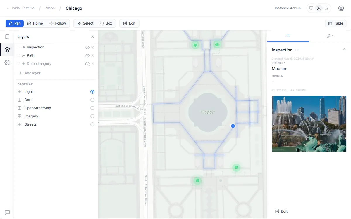
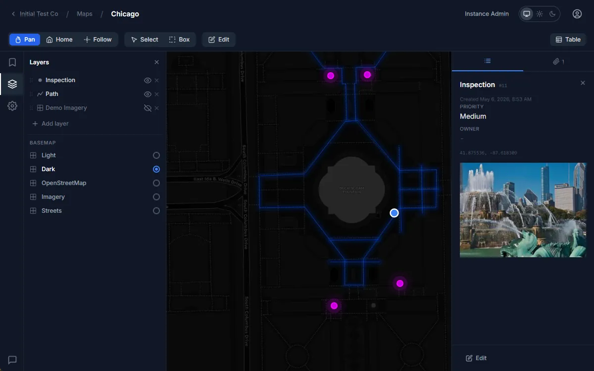
One map for the office and the field
Build interactive asset maps in the browser. Collect inspection data on a phone on-site. Everyone works from the same record.
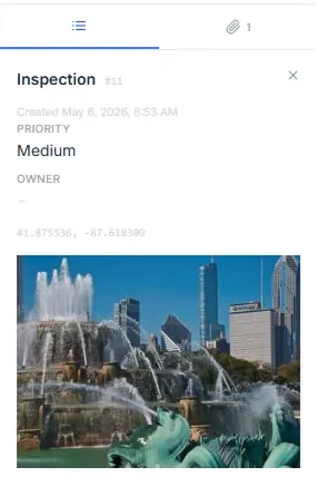
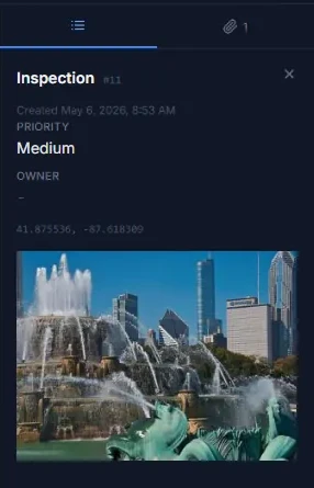
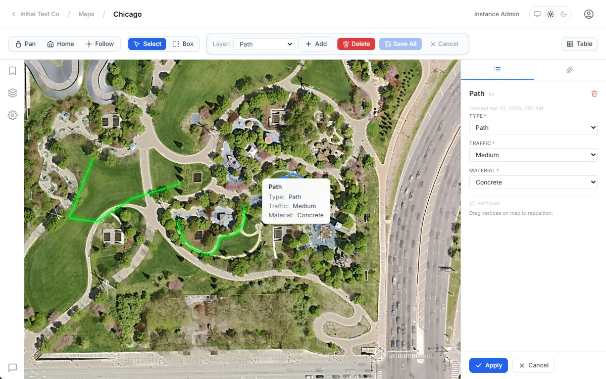
Map your assets in the field
A clean, interactive map gives your team a shared view of every asset, feature, and inspection record. Add points, lines, and polygons directly on the map, from a browser or a phone in the field.
Capture data where the work happens
Build custom forms for your field crews to fill out on-site. Attach photos, record condition ratings, log inspection results, all tied directly to the asset on the map.
GIS software for municipalities, utilities, and asset managers
Whether you manage public infrastructure, a utility network, or a portfolio of physical assets, Rillium Maps gives every team one current, shared picture of the field.
Municipal Governments
Track public assets, manage infrastructure maps, and coordinate field operations across departments. Give every team a living picture of what exists, where it is, and what condition it's in.
Utilities
Map your grid, pipelines, and service territories. Equip field technicians with tools to log inspections, report incidents, and keep records up to date from wherever the work happens.
Asset Managers
Maintain a living map of your portfolio. Know what you have, where it is, and what needs attention, without needing a dedicated GIS team to get started.
Simple, transparent pricing
Start free and upgrade when you need more. All plans include unlimited team members.
Cloud, private cloud, or on-premises
Need a custom plan, volume pricing, or an on-premises deployment? Rillium Maps runs in our cloud, in your managed cloud environment, or behind your firewall. You work directly with the engineers who build the product on implementation, onboarding, and support. And if you ever need to leave, your data leaves with you in open standard formats.
Talk to our teamReady to start mapping?
Free plan: 2 maps, 3 layers, 500 features. No credit card required.
Get in Touch